A space project, in which eMan has a mammoth-sized share is being launched. What makes it unique, and how can it help with agriculture and the fight against the climate crisis?
ConstellR: A new view of planet Earth
Around 6,000 satellites orbit our planet. 2,200 of them are still operational, and 500 of them collect over 100 terabytes of information about the earth’s surface each day. Much of this data is very difficult for the average end user to access. And, if you do get this data, it’s hard to work with it effectively, because it’s not compatible with each other (from different satellites, from different organizations). FindR – a project in which experts from ConstellR, eMan, and Geoforschungszentrum Potsdam are collaborating – enters this situation with the goal of bringing up an appropriate solution.
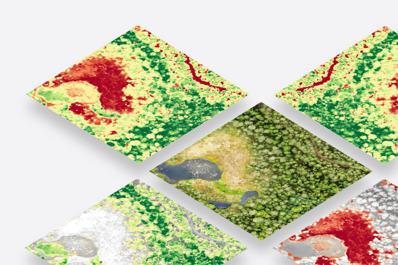
A sample of various images; satellite photography, surface temperature, low / high water pressure
FindR: A brain connecting hundreds of eyes
This solution shatters all the limitations mentioned above. It allows instant access to data from hundreds of different satellites. In addition, this data is homogenized, so it is easy to work with, compare, or link images and information. Thus, the end user can be a professional (e.g. from the fields of agriculture or finance) as well as an amateur enthusiast who wants to look at our planet from different angles.
This is the first product of its kind that will fundamentally change the situation with respect to mapping the earth’s surface.
This is particularly important in the context of the impending climate crisis. Important predictions can be made through temperature and water monitoring.
Speaking of which, let’s summarize what this data can be used for.
- Vegetation drying control
Evaporation monitoring can reveal the danger even a few weeks before physiological changes occur in plants. - Effective irrigation
Accurately estimating the amount of water that plants in the area will need helps save water. - Estimate of agricultural yield
Allows farmers to better plan their finances. - Control of fires and natural disasters
Fires are responsible for 10% of all CO2 emissions, as well as billions in damage. Thanks to the high-resolution images, it is possible to identify the fire at its very onset, and intervene immediately. It is also possible to monitor other natural disasters. - Urban monitoring
Overheating of concrete areas should not be taken lightly. Thanks to ConstellR, this will be easier to follow. - Water quality control
Thanks to information from surface water, it will be possible to predict the potential emergence of epidemics associated with water bacteria.
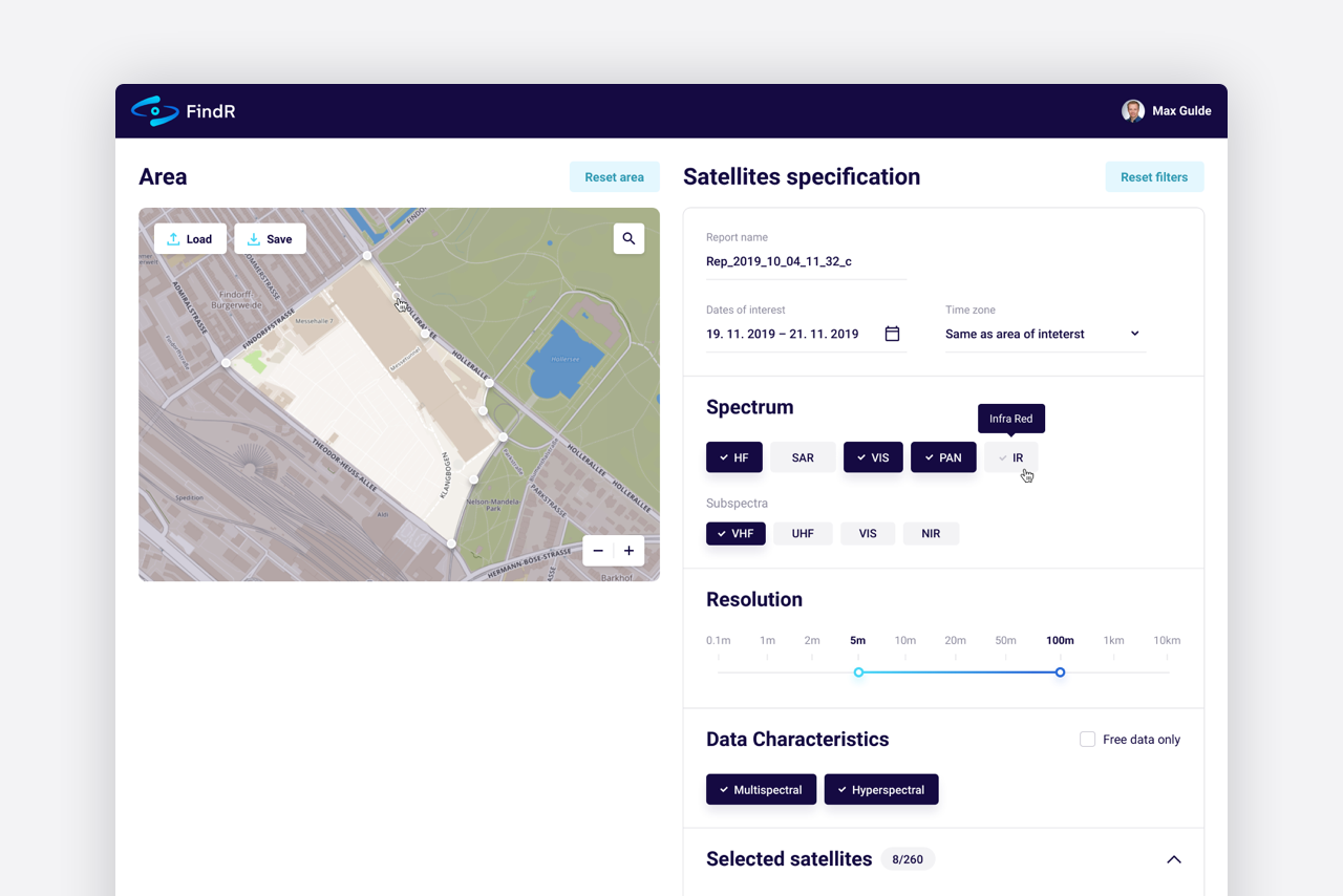
FindR user interface
The star team
The core of the FindR team is led by ConstellR, and consists of experts from a variety of disciplines, including aerospace engineering, electronics science, software engineering and design, as well as business development and marketing. Max Gulde (ConstellR), the inventor of the FindR and IP concepts, has a doctorate in physics with a focus on numerical simulations. Daniel Scheffler and Daniel Spengler (Geoforschungszentrum Potsdam) provide the team experience with data homogenization. Marius Bierdel (ConstellR) is an experienced aeronautical engineer with a deep knowledge of orbital dynamics, which is essential for the internal operation of FindR. Christian Williges (ConstellR) excels with a thorough understanding of the modeling of EO sensors collected since his time at DLR. Braňo Štupák, Augustin Šulc (eMan) and Daniel Laun (Fraunhofer) excel in the development of cloud web applications and SaaS, utilising the full potential of machine learning, and are supported by UX / U design expert Jan Gemerl (eMan).
And what has the eMan team brought to the project?
- Creating the FindR and ConstellR brand identity
- Development of the frontend and backend of the FindR product itself
- Business consulting
- Solution design, cloud consulting
- Company website (design, coding) – http://constellr.space/
What´s next?
ConstellR will enter the market this autumn! And it will be freely accessible to everyone – including a week of free trial. So, if you want to take off above the clouds, look for our announcements on the web and social networks.;
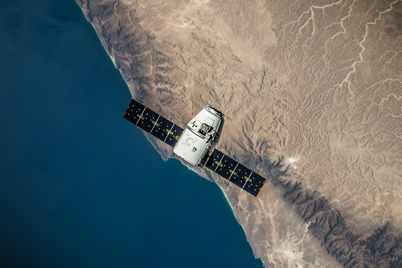
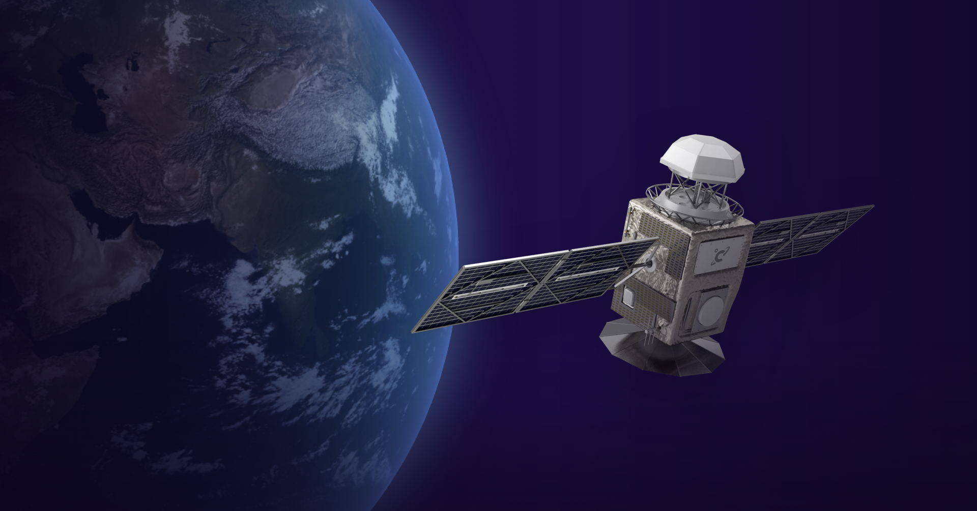
But, ConstellR doesn’t rely only on sophisticated algorithms. It boasts its own IR camera with a higher resolution than is common on the current market. The first nanosatellite carrying this camera will be in orbit at the end of the year, and more than sixty of them are planned for the future.